


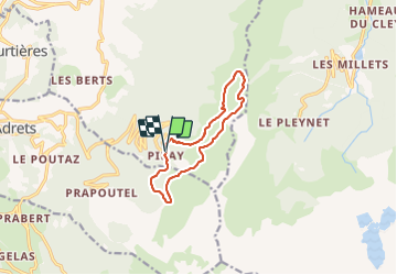
De Pipay vers le Crêt du boeuf en boucle - 14 nov 2021

morganee
User

Length
10.3 km

Max alt
1909 m

Uphill gradient
485 m
Km-Effort
16.7 km

Min alt
1515 m

Downhill gradient
488 m
Boucle
Yes
Creation date :
2021-11-14 11:36:28.246
Updated on :
2021-11-14 15:54:40.682
4h05
Difficulty : Easy

FREE GPS app for hiking
 SityTrail
IGN / Geographical institutes
SityTrail Plus
The world is yours!
About
Trail Walking of 10.3 km to be discovered at Auvergne-Rhône-Alpes, Isère, Theys. This trail is proposed by morganee.
Description
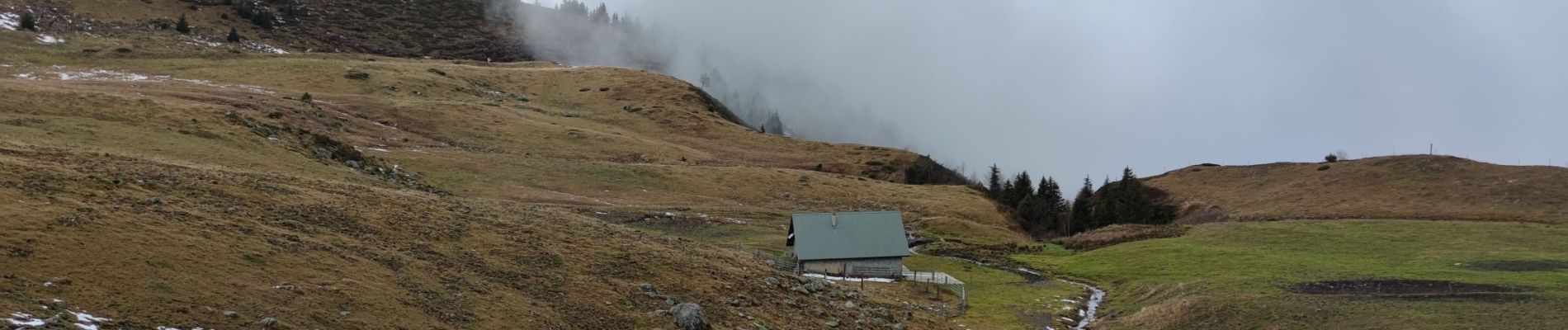
aucune difficulté, mais du brouillard tout du long
Photos

Positioning
Country:
France
Region :
Auvergne-Rhône-Alpes
Department/Province :
Isère
Municipality :
Theys
Location:
Unknown
Start:(Dec)
Start:(UTM)
265886 ; 5016818 (32T) N.
Comments