


Les Hauteurs de la Fontaine

MarcLEBARON
User
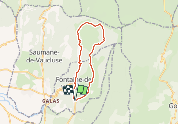

Length
13.6 km

Max alt
672 m

Uphill gradient
706 m
Km-Effort
23 km

Min alt
80 m

Downhill gradient
710 m
Boucle
Yes
Creation date :
2021-11-16 07:48:29.443
Updated on :
2021-11-19 03:59:19.495
5h00
Difficulty : Difficult

FREE GPS app for hiking
 SityTrail
IGN / Geographical institutes
SityTrail Plus
The world is yours!
About
Trail Walking of 13.6 km to be discovered at Provence-Alpes-Côte d'Azur, Vaucluse, Fontaine-de-Vaucluse. This trail is proposed by MarcLEBARON.
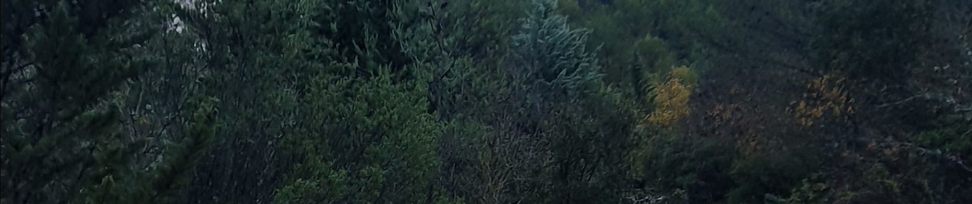
Photos


26 photos in total. Please click on a photo to see them all in the gallery.
Positioning
Country:
France
Region :
Provence-Alpes-Côte d'Azur
Department/Province :
Vaucluse
Municipality :
Fontaine-de-Vaucluse
Location:
Unknown
Start:(Dec)
Start:(UTM)
670858 ; 4864469 (31T) N.
Comments