


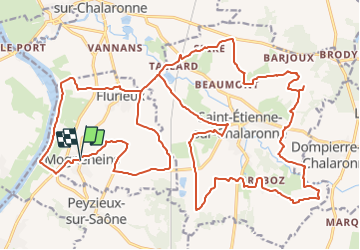
MOGNENEINS

jpfrobert
User

Length
36 km

Max alt
249 m

Uphill gradient
396 m
Km-Effort
41 km

Min alt
164 m

Downhill gradient
392 m
Boucle
Yes
Creation date :
2021-11-18 09:32:52.665
Updated on :
2021-11-18 09:33:37.058
4h00
Difficulty : Very easy

FREE GPS app for hiking
 SityTrail
IGN / Geographical institutes
SityTrail Plus
The world is yours!
About
Trail Electric bike of 36 km to be discovered at Auvergne-Rhône-Alpes, Ain, Mogneneins. This trail is proposed by jpfrobert.
Positioning
Country:
France
Region :
Auvergne-Rhône-Alpes
Department/Province :
Ain
Municipality :
Mogneneins
Location:
Unknown
Start:(Dec)
Start:(UTM)
639885 ; 5111114 (31T) N.
Comments