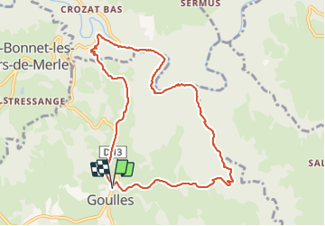
Goulle tour de carbonnieres tours de Merle

alainlissac
User

Length
10 km

Max alt
544 m

Uphill gradient
345 m
Km-Effort
14.6 km

Min alt
277 m

Downhill gradient
344 m
Boucle
Yes
Creation date :
2021-11-20 12:31:52.0
Updated on :
2021-11-20 16:05:29.731
3h02
Difficulty : Difficult

FREE GPS app for hiking
 SityTrail
IGN / Geographical institutes
SityTrail Plus
The world is yours!
About
Trail Walking of 10 km to be discovered at New Aquitaine, Corrèze, Goulles. This trail is proposed by alainlissac.
Positioning
Country:
France
Region :
New Aquitaine
Department/Province :
Corrèze
Municipality :
Goulles
Location:
Unknown
Start:(Dec)
Start:(UTM)
427511 ; 4988058 (31T) N.
Comments