


13.3 km | 14.6 km-effort


User


FREE GPS app for hiking
 SityTrail
IGN / Geographical institutes
SityTrail World
The world is yours!
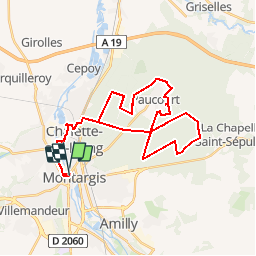
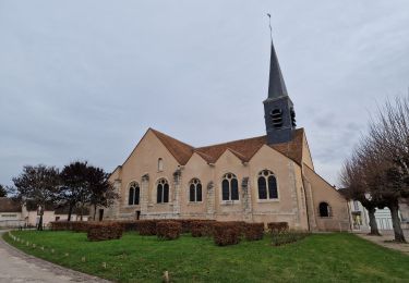
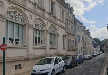
Trail Cycle of 35 km to be discovered at Centre-Loire Valley, Loiret, Montargis. This trail is proposed by becyclette.
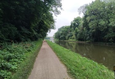
Randonnée à vélo en Forêt de Montargis :
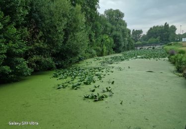
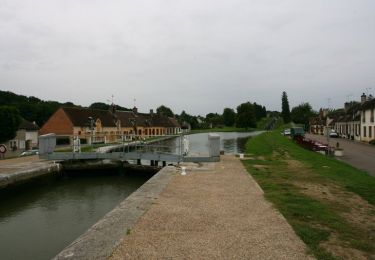
Au départ du centre ville vous voici partie pour une découverte de la moitié sud de la Forêt de Montargis que certain surnomme « La forêt des M ». Après avoir longé l'un des plus célèbre canal de France, vous entrez dans un écrin de verdure propice aux histoires et aux légendes. Adulé par les rois du temps ou le Gâtinais était à lui seul le royaume de France, cette Forêt reselle bien des mystères et des énigmes encore aujourd'hui. D'une Abbaye et un château disparu aux profondeur du puits Rippault cette première journée vous émerveillera par sa beauté et ses rencontres !
P.S : Deuxième partie au départ de Cepoy (nuit en camping possible)
Walking
Walking
Cycle
Walking
Walking

Walking
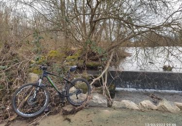
Mountain bike
Bicycle tourism
Walking