


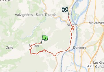
Viviers

raygautier
User

Length
23 km

Max alt
340 m

Uphill gradient
357 m
Km-Effort
28 km

Min alt
57 m

Downhill gradient
570 m
Boucle
No
Creation date :
2021-11-28 09:11:50.0
Updated on :
2021-11-28 16:45:55.563
3h41
Difficulty : Very difficult

FREE GPS app for hiking
 SityTrail
IGN / Geographical institutes
SityTrail Plus
The world is yours!
About
Trail Walking of 23 km to be discovered at Auvergne-Rhône-Alpes, Ardèche, Saint-Montan. This trail is proposed by raygautier.
Positioning
Country:
France
Region :
Auvergne-Rhône-Alpes
Department/Province :
Ardèche
Municipality :
Saint-Montan
Location:
Unknown
Start:(Dec)
Start:(UTM)
628572 ; 4923105 (31T) N.
Comments