


SUR LES TRACES DES SANGLIERS

dedejojo
User

Length
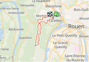
21 km

Max alt
149 m

Uphill gradient
271 m
Km-Effort
24 km

Min alt
52 m

Downhill gradient
270 m
Boucle
Yes
Creation date :
2021-11-30 09:47:29.844
Updated on :
2021-11-30 09:48:46.475
5h31
Difficulty : Very difficult

FREE GPS app for hiking
 SityTrail
IGN / Geographical institutes
SityTrail Plus
The world is yours!
About
Trail Walking of 21 km to be discovered at Normandy, Seine-Maritime, Canteleu. This trail is proposed by dedejojo.
Positioning
Country:
France
Region :
Normandy
Department/Province :
Seine-Maritime
Municipality :
Canteleu
Location:
Unknown
Start:(Dec)
Start:(UTM)
357257 ; 5479588 (31U) N.
Comments