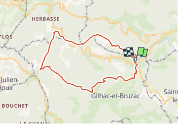
Trail Walking Unknown - Gilhac et Bruzac - Photo
 AIGUIER
AIGUIER

User

© OpenStreetMap contributors
Length
Length
17.9 km
Max alt
Max alt
789 m
Uphill gradient
Uphill gradient
549 m
Km-Effort
Km-Effort  
25 km
Min alt
Min alt
362 m
Downhill gradient
Downhill gradient
549 m
Boucle
Boucle
Yes
Creation date :
2021-12-02 08:15:41.42
Updated on :
2021-12-03 10:11:57.406

(0 Reviews)

Walking
Walking
8h04
Difficulty : Medium

Scan this QR Code to open this trail in the SityTrail application

FREE GPS app for hiking

Logo SityTrail SityTrail

IGN / Geographical institutes

Download SityTrail from the App Store Download SityTrail from Google Play

Logo SityTrail SityTrail Plus

The world is yours!

Download SityTrail from the App Store Download SityTrail from Google Play Download SityTrail on Huawei AppGallery

About

Trail Walking of 17.9 km to be discovered at Auvergne-Rhône-Alpes, Ardèche. This trail is proposed by AIGUIER.

Description

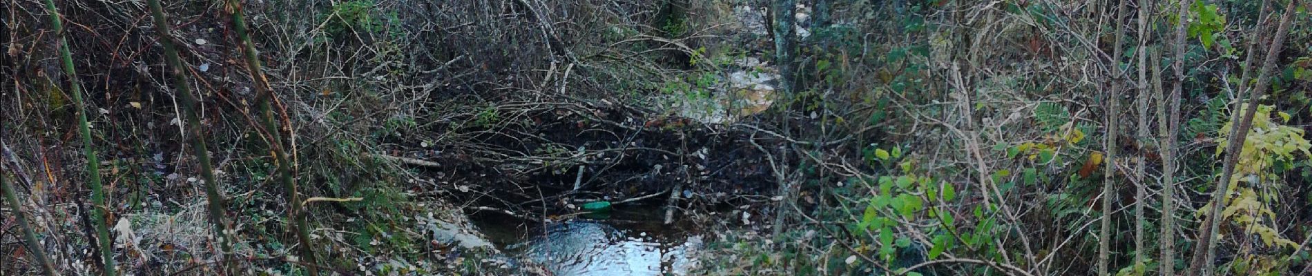
Rando aux paysages divers, petits cours d’eau magnifiques. Belles pistes forestières, des boisements aux essences multiples. Des passages risqués au dessus de ruisseaux. Une dure journée pour les 14 Curieux qui ont marchés sous un ciel gris, puis du soleil et pour finir du grésil et de la pluie, mais satisfait de leur journée.

Elevation profile

Photos

Positioning

Country:
France
Region :
Auvergne-Rhône-Alpes
Department/Province :
Ardèche
Municipality :
Unknown
Location:
Unknown
Start:(UTM)
640212 ; 4970805 (31T) N.


Close
My subscriptions