


20211204-Radepont

doudet
User
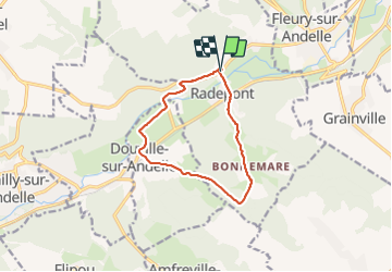

Length
9.8 km

Max alt
156 m

Uphill gradient
237 m
Km-Effort
13 km

Min alt
15 m

Downhill gradient
236 m
Boucle
Yes
Creation date :
2021-12-04 12:20:39.879
Updated on :
2021-12-05 08:24:41.442
2h56
Difficulty : Easy

FREE GPS app for hiking
 SityTrail
IGN / Geographical institutes
SityTrail Plus
The world is yours!
About
Trail Walking of 9.8 km to be discovered at Normandy, Eure, Radepont. This trail is proposed by doudet.
Description
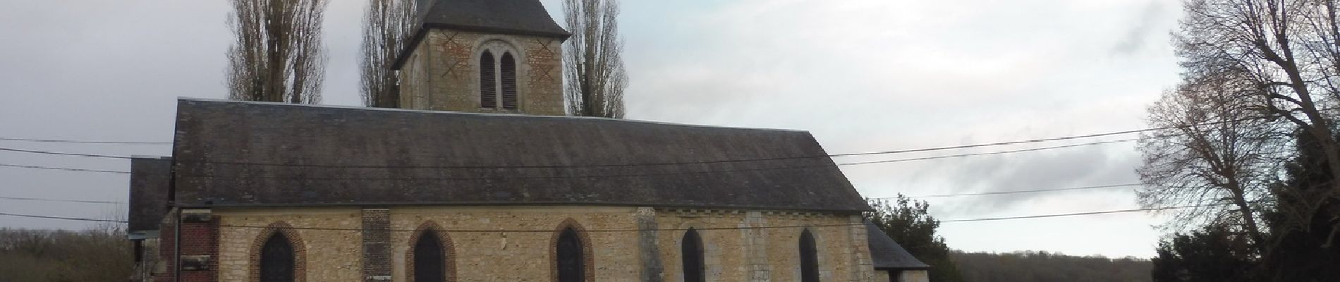
Boucle au départ de la salle des fêtes de Radepont
Photos


Positioning
Country:
France
Region :
Normandy
Department/Province :
Eure
Municipality :
Radepont
Location:
Unknown
Start:(Dec)
Start:(UTM)
378372 ; 5468329 (31U) N.
Comments