


Les hauts d'Issy et de Meudon

c.chehere
User
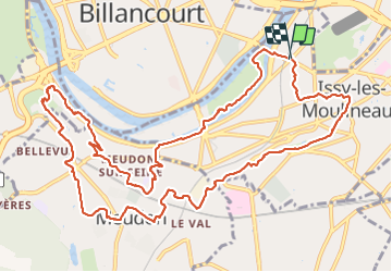

Length
14 km

Max alt
133 m

Uphill gradient
282 m
Km-Effort
17.7 km

Min alt
20 m

Downhill gradient
276 m
Boucle
Yes
Creation date :
2021-12-07 07:27:38.278
Updated on :
2021-12-07 13:03:26.012
3h37
Difficulty : Easy

FREE GPS app for hiking
 SityTrail
IGN / Geographical institutes
SityTrail Plus
The world is yours!
About
Trail Walking of 14 km to be discovered at Ile-de-France, Hauts-de-Seine, Issy-les-Moulineaux. This trail is proposed by c.chehere.
Description
Au départ d'Issy Val de Seine RER C_T2 et nombreux bus.
Par les sentes et sentiers attention nombreux escaliers
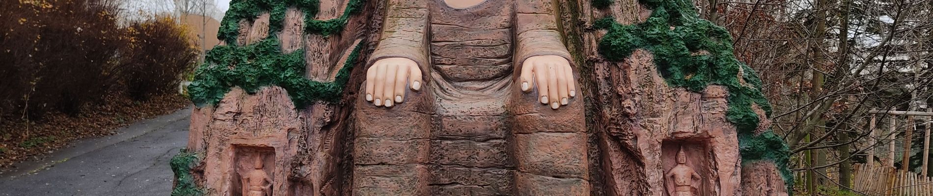
Photos


Positioning
Country:
France
Region :
Ile-de-France
Department/Province :
Hauts-de-Seine
Municipality :
Issy-les-Moulineaux
Location:
Unknown
Start:(Dec)
Start:(UTM)
445956 ; 5408716 (31U) N.
Comments