


Montboucher-Bois de Lion 10km

thonyc
User GUIDE
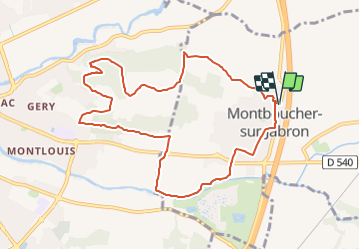

Length
10.5 km

Max alt
167 m

Uphill gradient
168 m
Km-Effort
12.7 km

Min alt
98 m

Downhill gradient
169 m
Boucle
Yes
Creation date :
2021-12-07 13:56:57.516
Updated on :
2023-06-08 06:25:42.414
2h53
Difficulty : Difficult

FREE GPS app for hiking
 SityTrail
IGN / Geographical institutes
SityTrail Plus
The world is yours!
About
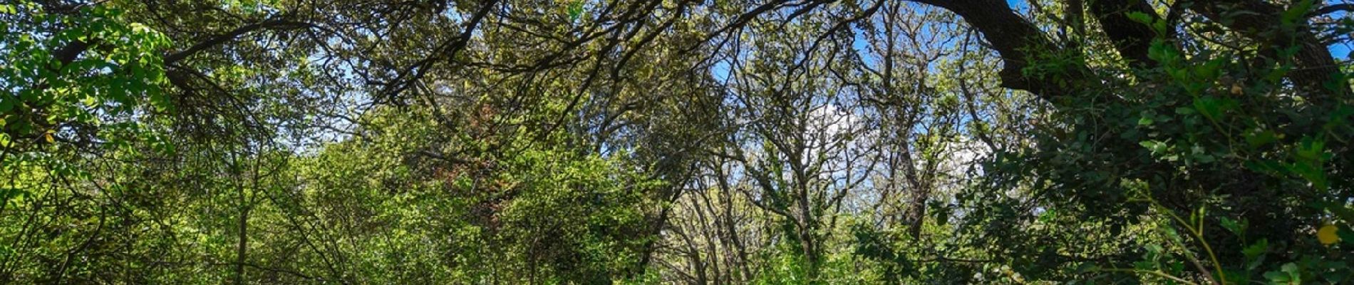
Trail Walking of 10.5 km to be discovered at Auvergne-Rhône-Alpes, Drôme, Montboucher-sur-Jabron. This trail is proposed by thonyc.
Photos

Positioning
Country:
France
Region :
Auvergne-Rhône-Alpes
Department/Province :
Drôme
Municipality :
Montboucher-sur-Jabron
Location:
Unknown
Start:(Dec)
Start:(UTM)
643709 ; 4935079 (31T) N.
Comments