


chaudan

franquen
User
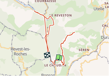

Length
25 km

Max alt
1056 m

Uphill gradient
2268 m
Km-Effort
56 km

Min alt
141 m

Downhill gradient
2326 m
Boucle
No
Creation date :
2021-12-12 09:25:23.163
Updated on :
2021-12-12 14:32:39.684
5h04
Difficulty : Very difficult

FREE GPS app for hiking
 SityTrail
IGN / Geographical institutes
SityTrail Plus
The world is yours!
About
Trail Walking of 25 km to be discovered at Provence-Alpes-Côte d'Azur, Maritime Alps, Utelle. This trail is proposed by franquen.
Positioning
Country:
France
Region :
Provence-Alpes-Côte d'Azur
Department/Province :
Maritime Alps
Municipality :
Utelle
Location:
Unknown
Start:(Dec)
Start:(UTM)
355193 ; 4859195 (32T) N.
Comments