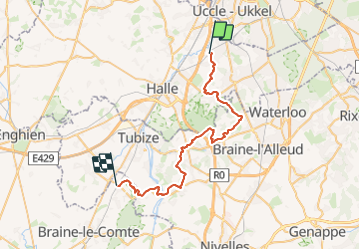
RL-GG-24 - Beersel - Hennuyères - 2025-05-19

GR Rando (plus commercialisé)
Randonnez sur et autour des GR ® wallons (Sentiers de Grande Randonnée). PRO


10h41
Difficulty : Very difficult

FREE GPS app for hiking
 SityTrail
IGN / Geographical institutes
SityTrail Plus
The world is yours!
About
Trail Walking of 37 km to be discovered at Flanders, Flemish Brabant, Beersel. This trail is proposed by GR Rando (plus commercialisé).
Description
De Beersel à Hennuyères. Beersel – Dworp – Paudure – Braine-le-Château – Ittre – Virginal – Hennuyères. Intro non définie
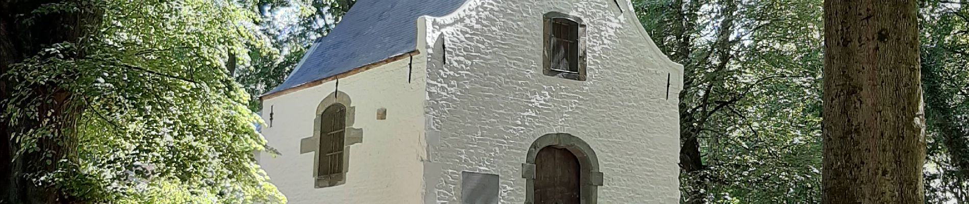
Photos


Positioning
Comments