


Valloncourt

MarcLEBARON
User
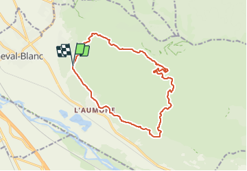

Length
16.8 km

Max alt
587 m

Uphill gradient
661 m
Km-Effort
26 km

Min alt
118 m

Downhill gradient
662 m
Boucle
Yes
Creation date :
2021-12-30 08:56:24.351
Updated on :
2022-01-04 09:54:02.713
4h50
Difficulty : Difficult

FREE GPS app for hiking
 SityTrail
IGN / Geographical institutes
SityTrail Plus
The world is yours!
About
Trail Walking of 16.8 km to be discovered at Provence-Alpes-Côte d'Azur, Vaucluse, Cheval-Blanc. This trail is proposed by MarcLEBARON.
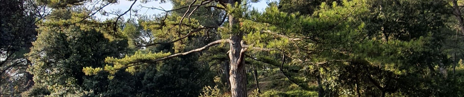
Photos


Positioning
Country:
France
Region :
Provence-Alpes-Côte d'Azur
Department/Province :
Vaucluse
Municipality :
Cheval-Blanc
Location:
Unknown
Start:(Dec)
Start:(UTM)
668333 ; 4851471 (31T) N.
Comments