


Les 3 châteaux

crocau
User
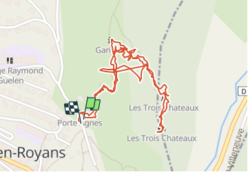

Length
1.9 km

Max alt
393 m

Uphill gradient
186 m
Km-Effort
4.4 km

Min alt
263 m

Downhill gradient
191 m
Boucle
Yes
Creation date :
2022-01-01 15:09:29.543
Updated on :
2022-01-01 16:20:48.006
1h11
Difficulty : Easy

FREE GPS app for hiking
 SityTrail
IGN / Geographical institutes
SityTrail Plus
The world is yours!
About
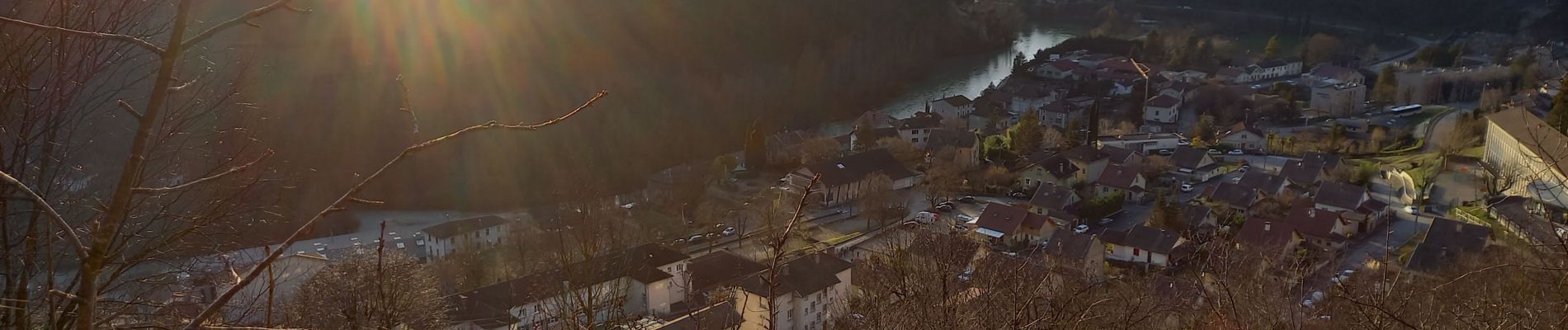
Trail Walking of 1.9 km to be discovered at Auvergne-Rhône-Alpes, Isère, Pont-en-Royans. This trail is proposed by crocau.
Description
ballade annuelle du premier janvier, un point de vue hors norme
Photos


Positioning
Country:
France
Region :
Auvergne-Rhône-Alpes
Department/Province :
Isère
Municipality :
Pont-en-Royans
Location:
Unknown
Start:(Dec)
Start:(UTM)
684600 ; 4992617 (31T) N.
Comments