


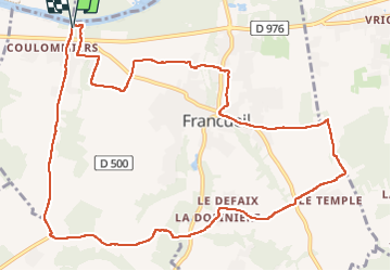

11.4 km | 13.7 km-effort


User GUIDE


FREE GPS app for hiking
 SityTrail
IGN / Geographical institutes
SityTrail World
The world is yours!
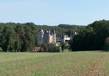
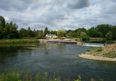
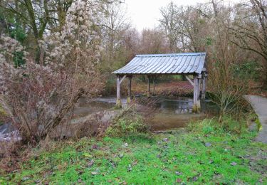
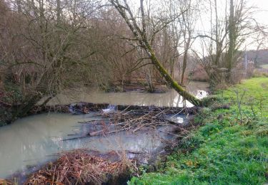
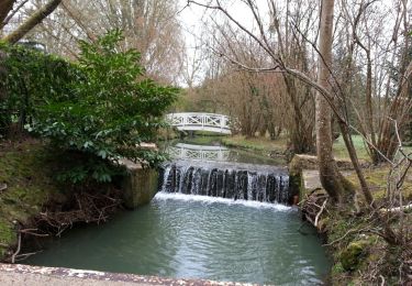
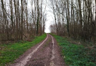
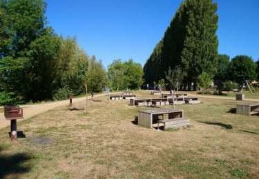
Trail Walking of 12.7 km to be discovered at Centre-Loire Valley, Indre-et-Loire, Francueil. This trail is proposed by Orcal37.
Chenonceaux - GR41 Francueil - 12.7km 160m 2h45 - 2022 01 01


Walking

Walking
Walking
Walking
Walking
Walking

Walking
Walking
Walking