


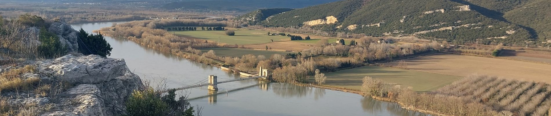
Donzère -falaises-Navon-ruines 15km

thonyc
User GUIDE


4h10
Difficulty : Medium

FREE GPS app for hiking
 SityTrail
IGN / Geographical institutes
SityTrail Plus
The world is yours!
About
Trail Walking of 15.4 km to be discovered at Auvergne-Rhône-Alpes, Drôme, Donzère. This trail is proposed by thonyc.
Description
Nota:
- l'accès au pont de pierre n'est pas trop évident car à côté du sentier sur la carte.
- passer le pont de pierres et descendre de suite à droite sur le chemin en contre-bas et continuer tout droit.
Photos


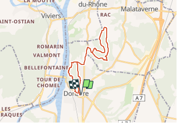
Positioning
Comments