


Les Balcons du Rhône

AIGUIER
User

Length
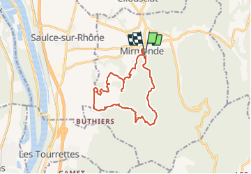
15.9 km

Max alt
414 m

Uphill gradient
474 m
Km-Effort
22 km

Min alt
113 m

Downhill gradient
476 m
Boucle
Yes
Creation date :
2022-01-06 08:39:20.773
Updated on :
2022-01-06 17:15:55.078
4h39
Difficulty : Medium

FREE GPS app for hiking
 SityTrail
IGN / Geographical institutes
SityTrail Plus
The world is yours!
About
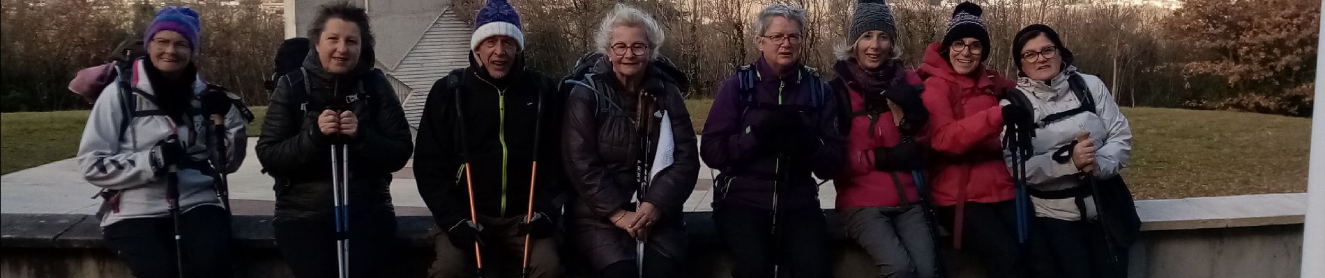
Trail Walking of 15.9 km to be discovered at Auvergne-Rhône-Alpes, Drôme, Mirmande. This trail is proposed by AIGUIER.
Photos


Positioning
Country:
France
Region :
Auvergne-Rhône-Alpes
Department/Province :
Drôme
Municipality :
Mirmande
Location:
Unknown
Start:(Dec)
Start:(UTM)
645593 ; 4950927 (31T) N.
Comments