


pont l eveque

NESTOR2714
User
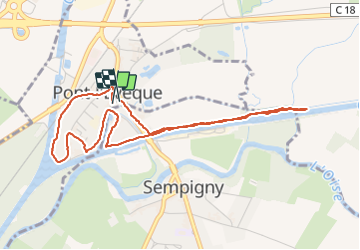

Length
4.5 km

Max alt
42 m

Uphill gradient
20 m
Km-Effort
4.8 km

Min alt
36 m

Downhill gradient
21 m
Boucle
Yes
Creation date :
2022-01-06 13:52:35.683
Updated on :
2022-01-06 16:05:56.367
1h13
Difficulty : Easy

FREE GPS app for hiking
 SityTrail
IGN / Geographical institutes
SityTrail Plus
The world is yours!
About
Trail Walking of 4.5 km to be discovered at Hauts-de-France, Oise, Pont-l'Évêque. This trail is proposed by NESTOR2714.
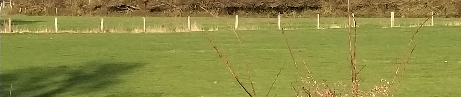
Photos

Positioning
Country:
France
Region :
Hauts-de-France
Department/Province :
Oise
Municipality :
Pont-l'Évêque
Location:
Unknown
Start:(Dec)
Start:(UTM)
499171 ; 5490118 (31U) N.
Comments