


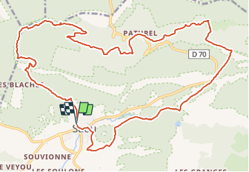
Saou Rochecolombe

Monjean
User

Length
15.1 km

Max alt
874 m

Uphill gradient
682 m
Km-Effort
24 km

Min alt
328 m

Downhill gradient
684 m
Boucle
Yes
Creation date :
2022-01-12 08:09:04.9
Updated on :
2022-01-13 10:23:20.783
5h51
Difficulty : Very difficult

FREE GPS app for hiking
 SityTrail
IGN / Geographical institutes
SityTrail Plus
The world is yours!
About
Trail Walking of 15.1 km to be discovered at Auvergne-Rhône-Alpes, Drôme, Saou. This trail is proposed by Monjean.
Positioning
Country:
France
Region :
Auvergne-Rhône-Alpes
Department/Province :
Drôme
Municipality :
Saou
Location:
Unknown
Start:(Dec)
Start:(UTM)
663419 ; 4945765 (31T) N.
Comments