


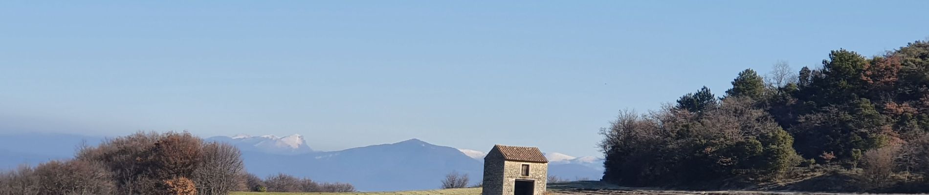
Les Crevasses de Chantemerle

MarcLEBARON
User

Length
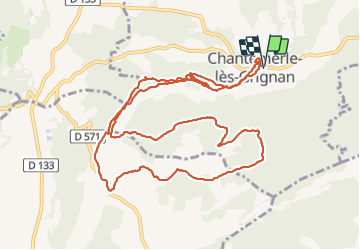
14 km

Max alt
354 m

Uphill gradient
276 m
Km-Effort
17.6 km

Min alt
197 m

Downhill gradient
276 m
Boucle
Yes
Creation date :
2022-01-13 09:02:54.675
Updated on :
2022-01-14 07:46:17.807
4h12
Difficulty : Medium

FREE GPS app for hiking
 SityTrail
IGN / Geographical institutes
SityTrail Plus
The world is yours!
About
Trail Walking of 14 km to be discovered at Auvergne-Rhône-Alpes, Drôme, Chantemerle-lès-Grignan. This trail is proposed by MarcLEBARON.
Photos


Positioning
Country:
France
Region :
Auvergne-Rhône-Alpes
Department/Province :
Drôme
Municipality :
Chantemerle-lès-Grignan
Location:
Unknown
Start:(Dec)
Start:(UTM)
646298 ; 4918261 (31T) N.
Comments