


Les Verneys - Bonnenuit - Valloire

alfreson
User
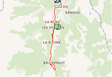

Length
11.9 km

Max alt
1750 m

Uphill gradient
206 m
Km-Effort
15.2 km

Min alt
1408 m

Downhill gradient
369 m
Boucle
No
Creation date :
2022-01-13 10:07:50.0
Updated on :
2022-01-13 15:28:44.309
4h39
Difficulty : Difficult

FREE GPS app for hiking
 SityTrail
IGN / Geographical institutes
SityTrail Plus
The world is yours!
About
Trail Walking of 11.9 km to be discovered at Auvergne-Rhône-Alpes, Savoy, Valloire. This trail is proposed by alfreson.
Description
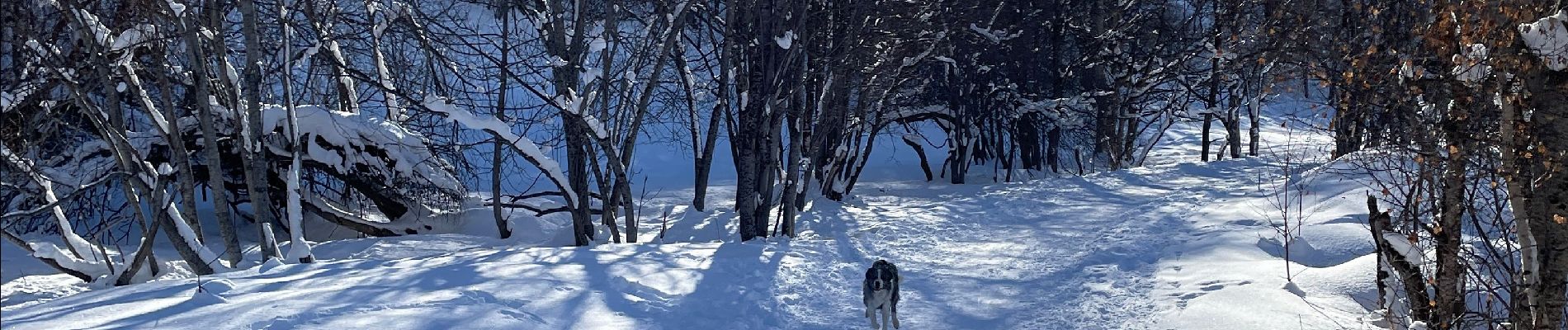
Promenade le long de la Valloirette
Photos

Positioning
Country:
France
Region :
Auvergne-Rhône-Alpes
Department/Province :
Savoy
Municipality :
Valloire
Location:
Unknown
Start:(Dec)
Start:(UTM)
297242 ; 5002151 (32T) N.
Comments