


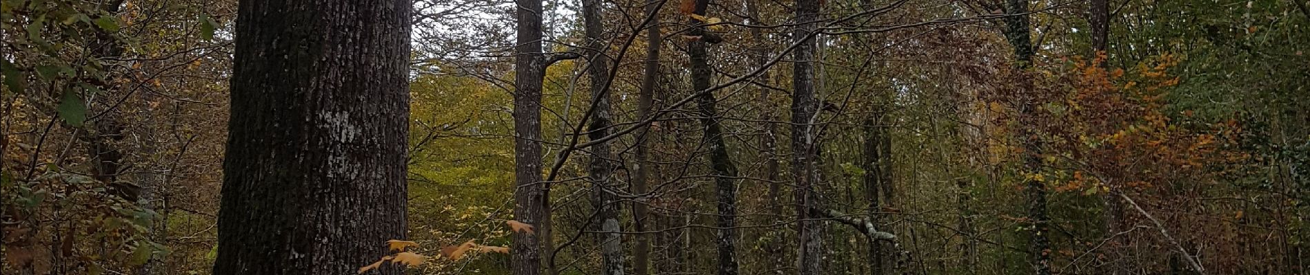
bois de Jaudrais

Robertplessier
User
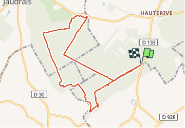

Length
10 km

Max alt
227 m

Uphill gradient
91 m
Km-Effort
11.2 km

Min alt
198 m

Downhill gradient
90 m
Boucle
Yes
Creation date :
2021-11-06 13:28:05.793
Updated on :
2022-11-08 10:20:01.027
2h26
Difficulty : Medium

FREE GPS app for hiking
 SityTrail
IGN / Geographical institutes
SityTrail Plus
The world is yours!
About
Trail Walking of 10 km to be discovered at Centre-Loire Valley, Eure-et-Loir, Saint-Maixme-Hauterive. This trail is proposed by Robertplessier.
Description
Marche plate sur bon chemin dans le bois, très agréable
Photos


Positioning
Country:
France
Region :
Centre-Loire Valley
Department/Province :
Eure-et-Loir
Municipality :
Saint-Maixme-Hauterive
Location:
Unknown
Start:(Dec)
Start:(UTM)
365082 ; 5380339 (31U) N.
Comments