


MontDore

rollondesbois
User
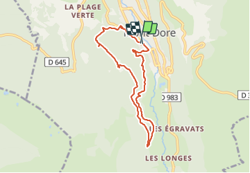

Length
7.4 km

Max alt
1267 m

Uphill gradient
271 m
Km-Effort
11 km

Min alt
1047 m

Downhill gradient
276 m
Boucle
Yes
Creation date :
2022-01-23 12:21:32.476
Updated on :
2022-01-23 14:47:41.918
1h57
Difficulty : Very difficult

FREE GPS app for hiking
 SityTrail
IGN / Geographical institutes
SityTrail Plus
The world is yours!
About
Trail Walking of 7.4 km to be discovered at Auvergne-Rhône-Alpes, Puy-de-Dôme, Mont-Dore. This trail is proposed by rollondesbois.
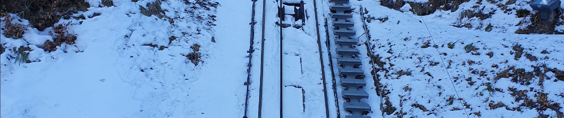
Photos


Positioning
Country:
France
Region :
Auvergne-Rhône-Alpes
Department/Province :
Puy-de-Dôme
Municipality :
Mont-Dore
Location:
Unknown
Start:(Dec)
Start:(UTM)
484967 ; 5046637 (31T) N.
Comments