


Denee 250122

guyernage25
User

Length
12.4 km

Max alt
268 m

Uphill gradient
264 m
Km-Effort
15.9 km

Min alt
145 m

Downhill gradient
265 m
Boucle
Yes
Creation date :
2022-01-25 10:02:23.439
Updated on :
2022-01-25 13:30:56.544
3h14
Difficulty : Easy

FREE GPS app for hiking
 SityTrail
IGN / Geographical institutes
SityTrail Plus
The world is yours!
About
Trail Walking of 12.4 km to be discovered at Wallonia, Namur, Anhée. This trail is proposed by guyernage25.
Description
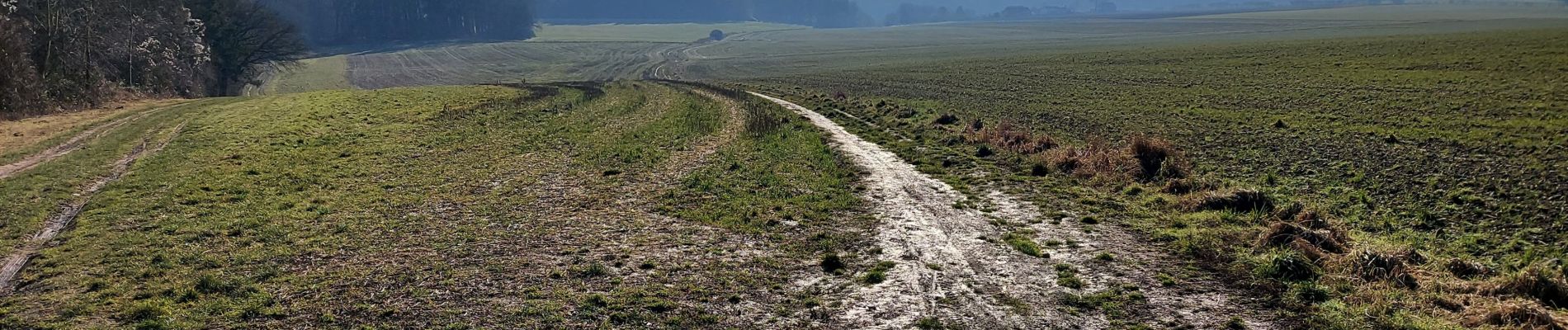
balade dans la jolie vallée de la Molignee
Photos


Positioning
Country:
Belgium
Region :
Wallonia
Department/Province :
Namur
Municipality :
Anhée
Location:
Unknown
Start:(Dec)
Start:(UTM)
624623 ; 5575308 (31U) N.
Comments