


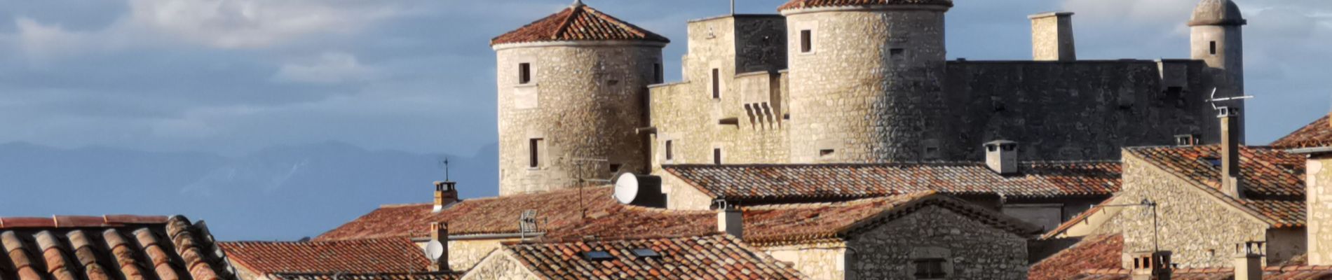
Chapelle St Romain la Bastide de Virac

ManteR07
User
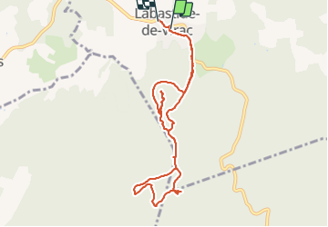

Length
9.7 km

Max alt
370 m

Uphill gradient
176 m
Km-Effort
12.1 km

Min alt
243 m

Downhill gradient
192 m
Boucle
No
Creation date :
2022-02-04 12:05:57.452
Updated on :
2022-02-04 15:15:38.881
3h09
Difficulty : Very easy

FREE GPS app for hiking
 SityTrail
IGN / Geographical institutes
SityTrail Plus
The world is yours!
About
Trail Nordic walking of 9.7 km to be discovered at Auvergne-Rhône-Alpes, Ardèche, Labastide-de-Virac. This trail is proposed by ManteR07.
Photos


Positioning
Country:
France
Region :
Auvergne-Rhône-Alpes
Department/Province :
Ardèche
Municipality :
Labastide-de-Virac
Location:
Unknown
Start:(Dec)
Start:(UTM)
611770 ; 4911776 (31T) N.
Comments