


le crey

fab4u
User

Length
12.7 km

Max alt
1256 m

Uphill gradient
111 m
Km-Effort
16.5 km

Min alt
454 m

Downhill gradient
807 m
Boucle
No
Creation date :
2022-02-04 16:48:56.806
Updated on :
2022-02-05 08:10:09.337
5h37
Difficulty : Difficult

FREE GPS app for hiking
 SityTrail
IGN / Geographical institutes
SityTrail Plus
The world is yours!
About
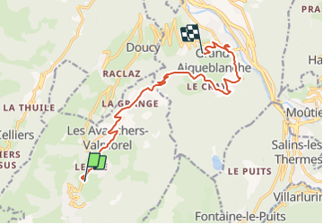
Trail Walking of 12.7 km to be discovered at Auvergne-Rhône-Alpes, Savoy, Les Avanchers-Valmorel. This trail is proposed by fab4u.
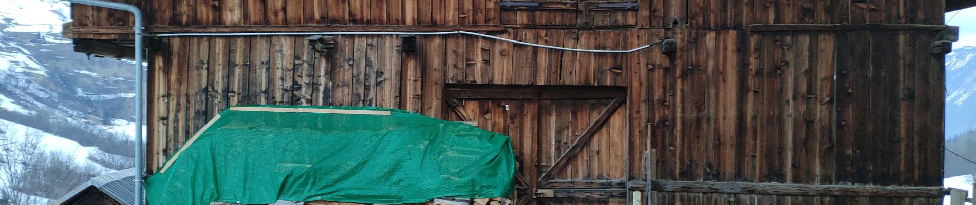
Photos


Positioning
Country:
France
Region :
Auvergne-Rhône-Alpes
Department/Province :
Savoy
Municipality :
Les Avanchers-Valmorel
Location:
Unknown
Start:(Dec)
Start:(UTM)
300483 ; 5037940 (32T) N.
Comments