


Châtillon - La vallée de l'Azergues

Sigmut
User
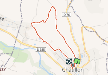

Length
4.2 km

Max alt
303 m

Uphill gradient
100 m
Km-Effort
5.5 km

Min alt
214 m

Downhill gradient
101 m
Boucle
Yes
Creation date :
2022-02-05 13:22:36.15
Updated on :
2023-01-16 21:16:08.872
1h33
Difficulty : Easy

FREE GPS app for hiking
 SityTrail
IGN / Geographical institutes
SityTrail Plus
The world is yours!
About
Trail Walking of 4.2 km to be discovered at Auvergne-Rhône-Alpes, Rhône, Châtillon. This trail is proposed by Sigmut.
Description
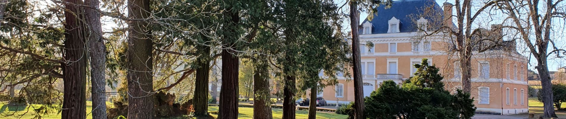
Très belle vue du plateau au dessus de Châtillon
Photos


38 photos in total. Please click on a photo to see them all in the gallery.
Positioning
Country:
France
Region :
Auvergne-Rhône-Alpes
Department/Province :
Rhône
Municipality :
Châtillon
Location:
Unknown
Start:(Dec)
Start:(UTM)
627670 ; 5081716 (31T) N.
Comments