


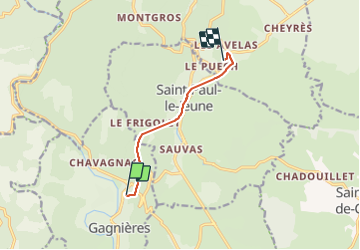

12.9 km | 15.1 km-effort


User


FREE GPS app for hiking
 SityTrail
IGN / Geographical institutes
SityTrail World
The world is yours!
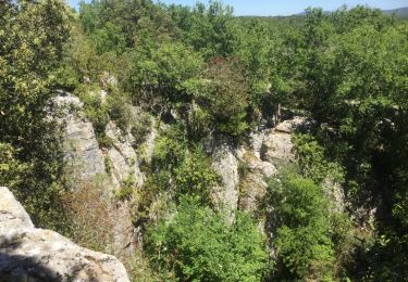
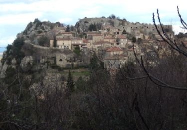
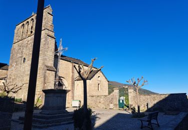
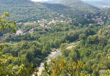
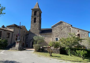
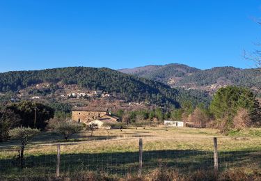
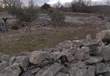
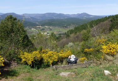
Trail Walking of 6.1 km to be discovered at Occitania, Gard, Gagnières. This trail is proposed by w.papenberg.
Von Chavagnac Radweg bis hinter den 1. Tunnel hinter St Paul le Jeune
Walking
Walking
Walking
Walking
Walking
Walking

Walking
Walking
Walking