


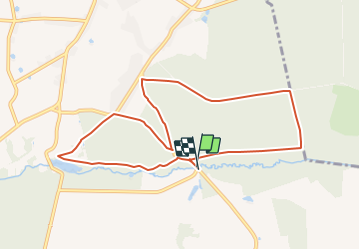
Promenade de l'Oise

Commissariat général au Tourisme
Randonnées du CGT GUIDE+


2h22
Difficulty : Easy

FREE GPS app for hiking
 SityTrail
IGN / Geographical institutes
SityTrail Plus
The world is yours!
About
Trail On foot of 8.8 km to be discovered at Wallonia, Hainaut, Momignies. This trail is proposed by Commissariat général au Tourisme.
Description
Trail created by Pays des Lacs.
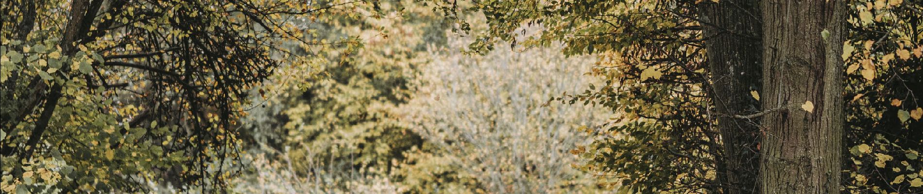
At the heart of Seloignes wood, choose a peaceful hike through the countryside along the river Oise. Seloignes wood is an immense humpback that separates the Meuse and Oise basins. The Oise extends over around 15 km in Belgium. Its source is to the north of Scourmont abbey in the municipality of Chimay, then it turns west to the French border where it gives its name to the village of Macquenoise. It then descends south to cross the departments of Aisne, Oise and Seine-et-Oise and flows into the Seine at Conflans-Sainte-Honorine, not far from Paris.
Photos


Positioning
Comments