


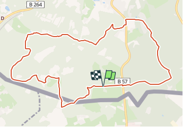

13.2 km | 17.3 km-effort

Tous les sentiers balisés d’Europe PRO


FREE GPS app for hiking
 SityTrail
IGN / Geographical institutes
SityTrail World
The world is yours!
Trail On foot of 11.5 km to be discovered at North Rhine-Westphalia, Städteregion Aachen, Aachen. This trail is proposed by SityTrail - itinéraires balisés pédestres.
Trail created by Stadt Aachen, Fachbereich Umwelt und Fachbereich Stadtentwicklung und Verkehrsanlagen.
Website: http://www.grenzrouten.eu/routen/5aachener_wald/index.html


Walking

Walking

Walking
Walking
Walking

Walking
Walking

Walking

Walking
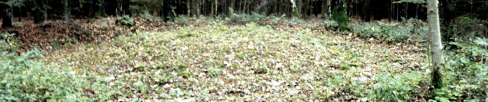
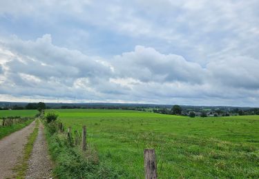
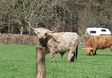
🌲 Forêt d'Aix-la-Chapelle 🌳 🇩🇪 La crête située au sud de la ville d'Aix-la-Chapelle est presque entièrement boisée (forêts de hêtres, de conifères et d'autres variétés). En plus de la nature merveilleuse, il y a des choses intéressantes à découvrir sur l'histoire. L'itinéraire part de Köpfchen, l'ancien poste frontière, longe des vestiges frontaliers de différentes époques jusqu'à Entenpfuhl et passe par l'ancienne tour de guet d'Alt-Linzenshäuschen et la source des pionniers. www.grenzrouten.eu 💚 100% nature, la tranquillité absolue à certains endroits avec juste le bruissement du vent dans les feuillages, le pépiement des oiseaux et le crissement de nos pas. 📌 & 🅿️ Eupenerstrabe (ancien poste-frontière) à Köpfchen