Trail Walking Val-de-Bonnieure - Saint AMAND de Bonnieure - Photo

Saint AMAND de Bonnieure

© OpenStreetMap contributors
Length
Length
10.7 km
Max alt
Max alt
116 m
Uphill gradient
Uphill gradient
121 m
Km-Effort
Km-Effort  
12.3 km
Min alt
Min alt
66 m
Downhill gradient
Downhill gradient
119 m
Boucle
Boucle
Yes
Creation date :
2014-12-10 00:00:00.0
Updated on :
2014-12-10 00:00:00.0

(0 Reviews)

Walking
Walking
3h02
Difficulty : Easy

Scan this QR Code to open this trail in the SityTrail application

FREE GPS app for hiking

Logo SityTrail SityTrail

IGN / Geographical institutes

Download SityTrail from the App Store Download SityTrail from Google Play

Logo SityTrail SityTrail World

The world is yours!

Download SityTrail from the App Store Download SityTrail from Google Play Download SityTrail on Huawei AppGallery

About

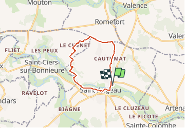
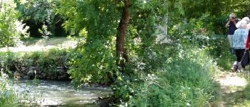
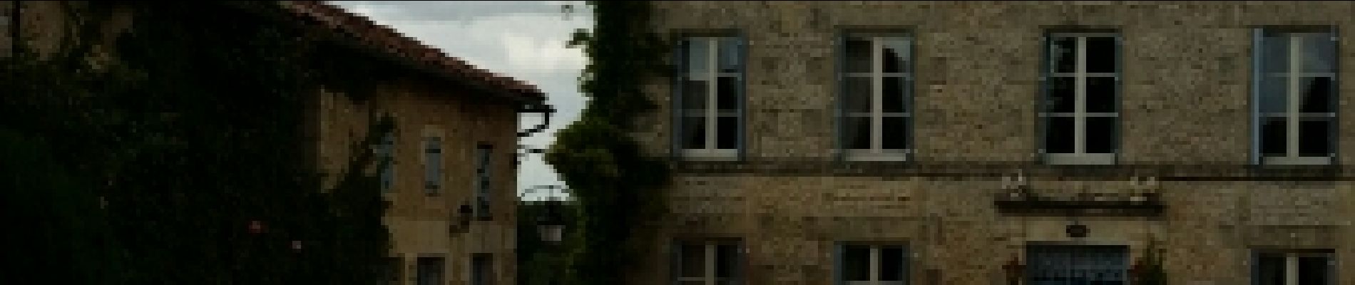
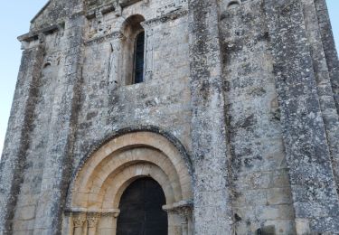
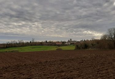
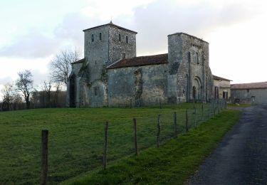
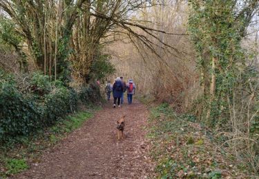
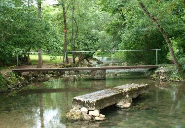
Trail Walking of 10.7 km to be discovered at New Aquitaine, Charente, Val-de-Bonnieure. This trail is proposed by alainjoseph6.

Description

Relativement plate mais un peut trop de goudron. A faire par temps frais.

Elevation profile

Photos

Points of interest

Point of interest Val-de-Bonnieure - Point 1 la bonnieure - Photo
alainjoseph6
VAL-DE-BONNIEURE 
Point of interest Val-de-Bonnieure - Saint angeau - Photo
alainjoseph6
VAL-DE-BONNIEURE 

Positioning

Country:
France
Region :
New Aquitaine
Department/Province :
Charente
Municipality :
Val-de-Bonnieure
Location:
Unknown
Start:(UTM)
289886 ; 5081200 (31T) N.

Trails nearby

Trail Walking Val-de-Bonnieure - La randonnée des Palombes à Sainte Colombe 16 - Photo
Walking
alainjoseph6

Walking

Easy
Val-de-Bonnieure, New Aquitaine, Charente, France
7.9 km | 9.1 km-effort
2h 15min
Yes
Trail Walking Coulgens - La balade de COULGENS - Photo
Walking
alainjoseph6

Walking

Very easy
Coulgens, New Aquitaine, Charente, France
8.1 km | 9.4 km-effort
2h 21min
Yes
Trail Walking Ventouse - La balade de Ventouse  - Photo
Walking
alainjoseph6

Walking

Very easy
Ventouse, New Aquitaine, Charente, France
9.4 km | 11.1 km-effort
2h 49min
Yes
Trail Walking Saint-Ciers-sur-Bonnieure - Le circuit des moulins de st ciers de Bonnieure - Photo
Walking
alainjoseph6

Walking

Medium
Saint-Ciers-sur-Bonnieure, New Aquitaine, Charente, France
8.2 km | 9.7 km-effort
2h 51min
Yes
Trail Walking Mouton - Mouton - Photo
Walking
neoroll44

Walking

Easy
Mouton, New Aquitaine, Charente, France
8 km | 9.3 km-effort
2h 0min
Yes
Trail Other activity Val-de-Bonnieure - st amant - Photo
Other activity
sy!

Other activity

Very easy
Val-de-Bonnieure, New Aquitaine, Charente, France
15 km | 17.3 km-effort
2h 29min
Yes
Trail Other activity Val-de-Bonnieure - st a rec - Photo
Other activity
sy!

Other activity

Very easy
Val-de-Bonnieure, New Aquitaine, Charente, France
17.8 km | 20 km-effort
1h 24min
Yes
Trail Other activity Val-de-Bonnieure - st angeau - Photo
Other activity
sy!

Other activity

Very easy
Val-de-Bonnieure, New Aquitaine, Charente, France
15.6 km | 18.2 km-effort
4h 20min
Yes
Trail Mountain bike Val-de-Bonnieure - st angeau vtt - Photo
Mountain bike
sy!

Mountain bike

Very easy
Val-de-Bonnieure, New Aquitaine, Charente, France
25 km | 29 km-effort
2h 23min
No


Close
My subscriptions