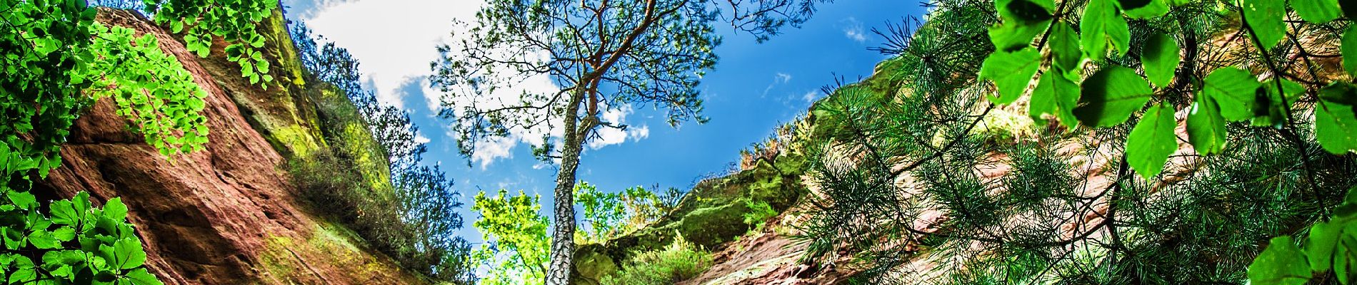
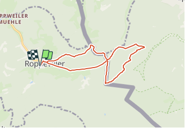
Circuit du rocher de l'Altschlossfelsen

SityTrail - itinéraires balisés pédestres
Tous les sentiers balisés d’Europe GUIDE+

Length
7.1 km

Max alt
405 m

Uphill gradient
196 m
Km-Effort
9.7 km

Min alt
290 m

Downhill gradient
196 m
Boucle
Yes

Signpost
Creation date :
2022-02-11 20:25:24.363
Updated on :
2022-03-02 08:35:46.761
2h12
Difficulty : Easy

FREE GPS app for hiking
 SityTrail
IGN / Geographical institutes
SityTrail Plus
The world is yours!
About
Trail On foot of 7.1 km to be discovered at Grand Est, Moselle, Roppeviller. This trail is proposed by SityTrail - itinéraires balisés pédestres.
Description
Trail created by Club Vosgien/ComCom Pays de Bitche.
Photos


Positioning
Country:
France
Region :
Grand Est
Department/Province :
Moselle
Municipality :
Roppeviller
Location:
Unknown
Start:(Dec)
Start:(UTM)
391016 ; 5439744 (32U) N.
Comments