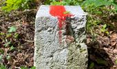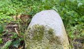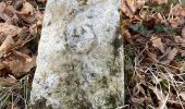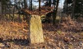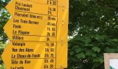

Neuchâtel Cadolles - Ch. de la Châtelainie
SityTrail - itinéraires balisés pédestres
Tous les sentiers balisés d’Europe GUIDE+

Length
4.8 km

Max alt
684 m

Uphill gradient
131 m

Km-Effort
6.3 km

Min alt
580 m

Downhill gradient
64 m
Boucle
No
Signpost
Creation date :
2022-02-14 08:44:18.907
Updated on :
2022-02-14 08:44:18.907
1h25
Difficulty : Easy

FREE GPS app for hiking
About
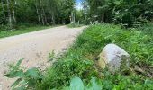
Trail On foot of 4.8 km to be discovered at Neuchâtel, Unknown, Neuchâtel. This trail is proposed by SityTrail - itinéraires balisés pédestres.
Description
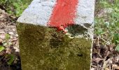
Symbol: losange jaune
Positioning
Country:
Switzerland
Region :
Neuchâtel
Department/Province :
Unknown
Municipality :
Neuchâtel
Location:
Unknown
Start:(Dec)
Start:(UTM)
342194 ; 5207141 (32T) N.
Comments
Trails nearby

Valangin - Serroue


On foot
Easy
Neuchâtel,
Neuchâtel,
Unknown,
Switzerland

3.1 km | 4.7 km-effort
1h 4min
No
Chaumont Funiculaire - Les Trois Bornes


On foot
Easy
Neuchâtel,
Neuchâtel,
Unknown,
Switzerland

4.2 km | 5.4 km-effort
1h 14min
No
Enges - Chemin de la Châtelainie


On foot
Easy
Neuchâtel,
Neuchâtel,
Unknown,
Switzerland

6.6 km | 9.5 km-effort
2h 9min
No

Savagnier - Clémesin


On foot
Easy
Val-de-Ruz,
Neuchâtel,
Unknown,
Switzerland

5.9 km | 8.5 km-effort
1h 55min
No

Bike32913


Mountain bike
Very easy
Neuchâtel,
Neuchâtel,
Unknown,
Switzerland

37 km | 55 km-effort
Unknown
Yes

bike_creuxduvan


Walking
Very easy
Neuchâtel,
Neuchâtel,
Unknown,
Switzerland

55 km | 80 km-effort
15h 30min
Yes

Lac de Morat


Other activity
Very easy
Hauterive (NE),
Neuchâtel,
Unknown,
Switzerland

61 km | 68 km-effort
Unknown
Yes

Lac de Bienne


Via ferrata
Very easy
Hauterive (NE),
Neuchâtel,
Unknown,
Switzerland

61 km | 68 km-effort
Unknown
Yes

Hauterive-Landeron


Other activity
Very easy
Hauterive (NE),
Neuchâtel,
Unknown,
Switzerland

10.5 km | 15.4 km-effort
Unknown
No


 SityTrail


