


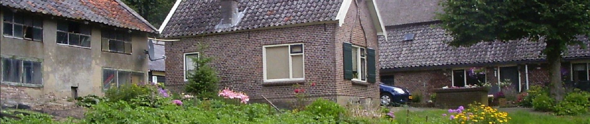
Mariëndaal

SityTrail - itinéraires balisés pédestres
Tous les sentiers balisés d’Europe GUIDE+
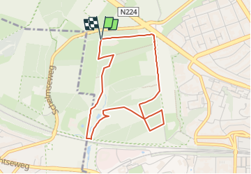


1h02
Difficulty : Easy

FREE GPS app for hiking
 SityTrail
IGN / Geographical institutes
SityTrail Plus
The world is yours!
About
Trail On foot of 3.6 km to be discovered at Gelderland, Unknown, Arnhem. This trail is proposed by SityTrail - itinéraires balisés pédestres.
Description
Hoog Erf bestaat uit weilanden, akkers, loofbosjes en singels. Een mooi punt is ‘de ster’. Hier komen zes lanen van het landgoed bij elkaar. Een heerl
Website: https://www.glk.nl/82/locatie/?locatie=128
Photos


Positioning
Comments