


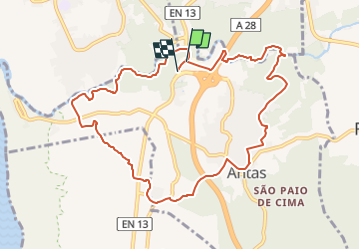

4.1 km | 5.4 km-effort


Tous les sentiers balisés d’Europe PRO


FREE GPS app for hiking
 SityTrail
IGN / Geographical institutes
SityTrail World
The world is yours!
Trail On foot of 11.4 km to be discovered at North, Braga, Antas. This trail is proposed by SityTrail - itinéraires balisés pédestres.
Website: https://www.visitesposende.com/pt/fazer/percursos/pr4-trilho-das-azenhas-das-antas


On foot
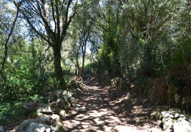

On foot
