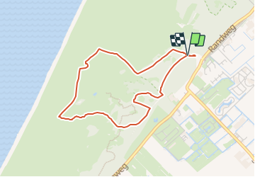
Trail On foot Noordwijk - Kachelduinroute - Photo

Tous les sentiers balisés d’Europe GUIDE+

© OpenStreetMap contributors
Length
Length
3.5 km
Max alt
Max alt
23 m
Uphill gradient
Uphill gradient
25 m
Km-Effort
Km-Effort  
3.8 km
Min alt
Min alt
7 m
Downhill gradient
Downhill gradient
27 m
Boucle
Boucle
Yes
Signpost
Signpost
Creation date :
2022-02-14 15:24:01.835
Updated on :
2022-02-14 15:24:01.835

(0 Reviews)

On foot
On foot
52m
Difficulty : Easy

Scan this QR Code to open this trail in the SityTrail application

FREE GPS app for hiking

Logo SityTrail SityTrail

IGN / Geographical institutes

Download SityTrail from the App Store Download SityTrail from Google Play

Logo SityTrail SityTrail Plus

The world is yours!

Download SityTrail from the App Store Download SityTrail from Google Play Download SityTrail on Huawei AppGallery

About

Trail On foot of 3.5 km to be discovered at South Holland, Unknown, Noordwijk. This trail is proposed by SityTrail - itinéraires balisés pédestres.

Description

Trail created by Staatsbosbeheer.

Symbol: deels groene band ronde paal, deels groen bordkje op vierkante paal (bij samenloop rwn)
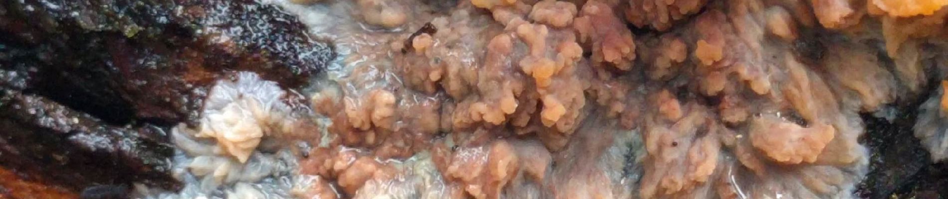
Elevation profile

Photos

Positioning

Country:
Netherlands
Region :
South Holland
Department/Province :
Unknown
Municipality :
Noordwijk
Location:
Unknown
Start:(UTM)
600116 ; 5792333 (31U) N.


Close
My subscriptions