


Le Sentier des Oiseaux

SityTrail - itinéraires balisés pédestres
Tous les sentiers balisés d’Europe GUIDE+


Length
8.6 km

Max alt
362 m

Uphill gradient
103 m
Km-Effort
10 km

Min alt
299 m

Downhill gradient
107 m
Boucle
Yes

Signpost
Creation date :
2022-02-15 02:46:32.384
Updated on :
2022-03-02 11:38:16.561
2h16
Difficulty : Easy

FREE GPS app for hiking
 SityTrail
IGN / Geographical institutes
SityTrail Plus
The world is yours!
About
Trail On foot of 8.6 km to be discovered at Bourgogne-Franche-Comté, Côte-d'Or, Villeneuve-sous-Charigny. This trail is proposed by SityTrail - itinéraires balisés pédestres.
Description
Trail created by Côte-d'Or Tourisme.
Photos


Positioning
Country:
France
Region :
Bourgogne-Franche-Comté
Department/Province :
Côte-d'Or
Municipality :
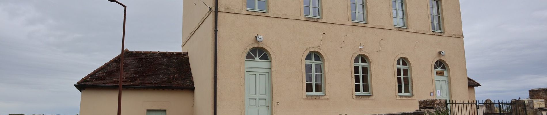
Villeneuve-sous-Charigny
Location:
Unknown
Start:(Dec)
Start:(UTM)
605235 ; 5254829 (31T) N.
Comments