


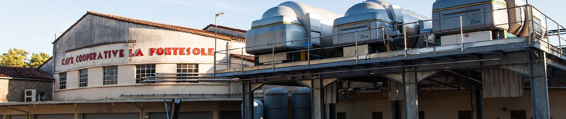
Fontès - Vignes et Volcans - Le Céressou

SityTrail - itinéraires balisés pédestres
Tous les sentiers balisés d’Europe GUIDE+
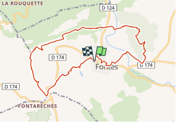

Length
11 km

Max alt
234 m

Uphill gradient
368 m
Km-Effort
15.9 km

Min alt
65 m

Downhill gradient
370 m
Boucle
Yes

Signpost
Creation date :
2022-02-15 05:01:33.159
Updated on :
2022-03-02 13:27:51.853
3h36
Difficulty : Easy

FREE GPS app for hiking
 SityTrail
IGN / Geographical institutes
SityTrail Plus
The world is yours!
About
Trail On foot of 11 km to be discovered at Occitania, Hérault, Fontès. This trail is proposed by SityTrail - itinéraires balisés pédestres.
Description
Photos


Positioning
Country:
France
Region :
Occitania
Department/Province :
Hérault
Municipality :
Fontès
Location:
Unknown
Start:(Dec)
Start:(UTM)
530475 ; 4820877 (31T) N.
Comments