


F26 Combau Fontaine Pourrie

ageo
User
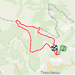

Length
17 km

Max alt
1945 m

Uphill gradient
886 m
Km-Effort
29 km

Min alt
1298 m

Downhill gradient
882 m
Boucle
Yes
Creation date :
2014-12-10 00:00:00.0
Updated on :
2014-12-10 00:00:00.0
6h09
Difficulty : Medium

FREE GPS app for hiking
 SityTrail
IGN / Geographical institutes
SityTrail Plus
The world is yours!
About
Trail Walking of 17 km to be discovered at Auvergne-Rhône-Alpes, Drôme, Châtillon-en-Diois. This trail is proposed by ageo.
Description
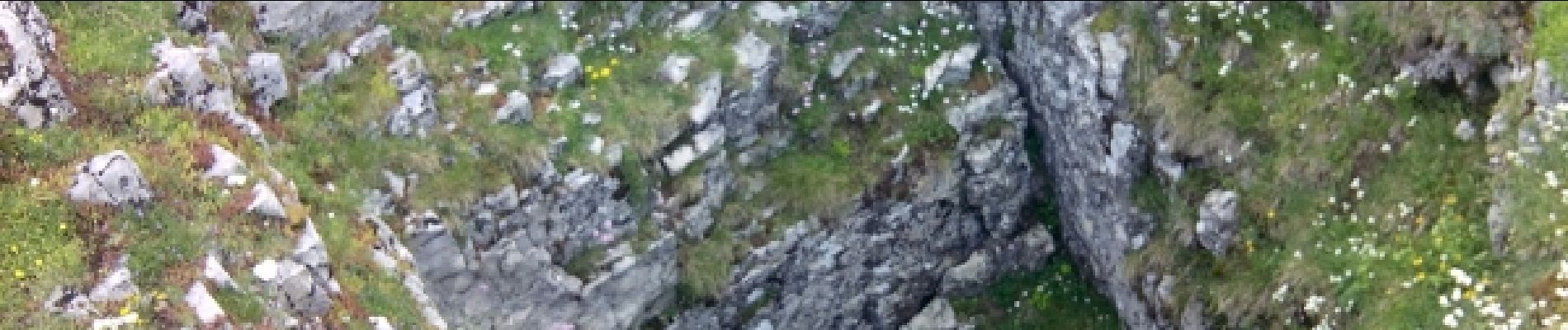
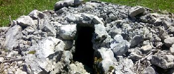
LCV. Croix du Lautaret. Très belle rando faite avec Maurice en reco.
Photos


Positioning
Country:
France
Region :
Auvergne-Rhône-Alpes
Department/Province :
Drôme
Municipality :
Châtillon-en-Diois
Location:
Treschenu-Creyers
Start:(Dec)
Start:(UTM)
702400 ; 4958765 (31T) N.
Comments
Magnifique