


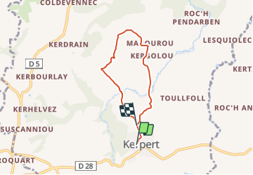
Circuit de la vallée

SityTrail - itinéraires balisés pédestres
Tous les sentiers balisés d’Europe GUIDE+

Length
4.9 km

Max alt
284 m

Uphill gradient
133 m
Km-Effort
6.6 km

Min alt
214 m

Downhill gradient
131 m
Boucle
No

Signpost
Creation date :
2022-02-15 13:29:45.148
Updated on :
2022-03-02 15:49:42.58
1h30
Difficulty : Easy

FREE GPS app for hiking
 SityTrail
IGN / Geographical institutes
SityTrail Plus
The world is yours!
About
Trail On foot of 4.9 km to be discovered at Brittany, Côtes-d'Armor, Kerpert. This trail is proposed by SityTrail - itinéraires balisés pédestres.
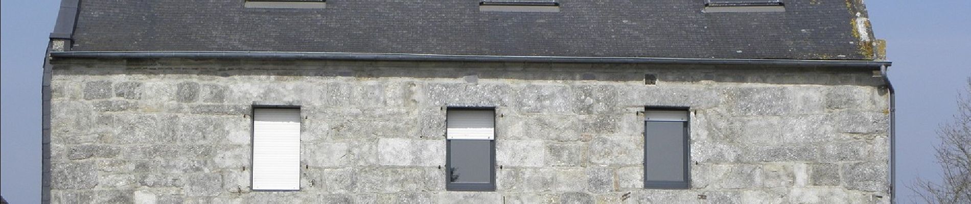
Photos


Positioning
Country:
France
Region :
Brittany
Department/Province :
Côtes-d'Armor
Municipality :
Kerpert
Location:
Unknown
Start:(Dec)
Start:(UTM)
490015 ; 5358220 (30U) N.
Comments