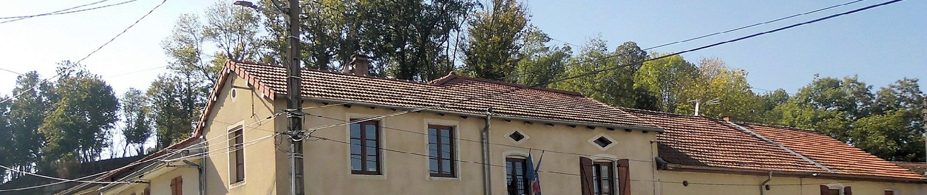
Circuit du Val du Brénon

SityTrail - itinéraires balisés pédestres
Tous les sentiers balisés d’Europe GUIDE+
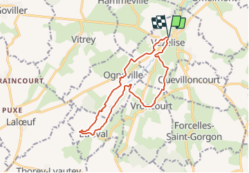

Length
13.6 km

Max alt
314 m

Uphill gradient
192 m
Km-Effort
16.2 km

Min alt
251 m

Downhill gradient
194 m
Boucle
Yes

Signpost
Creation date :
2022-02-15 14:28:56.903
Updated on :
2022-03-02 16:05:09.62
3h40
Difficulty : Easy

FREE GPS app for hiking
 SityTrail
IGN / Geographical institutes
SityTrail Plus
The world is yours!
About
Trail On foot of 13.6 km to be discovered at Grand Est, Meurthe-et-Moselle, Vézelise. This trail is proposed by SityTrail - itinéraires balisés pédestres.
Description
Trail created by Randonneurs du Saintois.
Photos


Positioning
Country:
France
Region :
Grand Est
Department/Province :
Meurthe-et-Moselle
Municipality :
Vézelise
Location:
Unknown
Start:(Dec)
Start:(UTM)
284966 ; 5374562 (32U) N.
Comments