


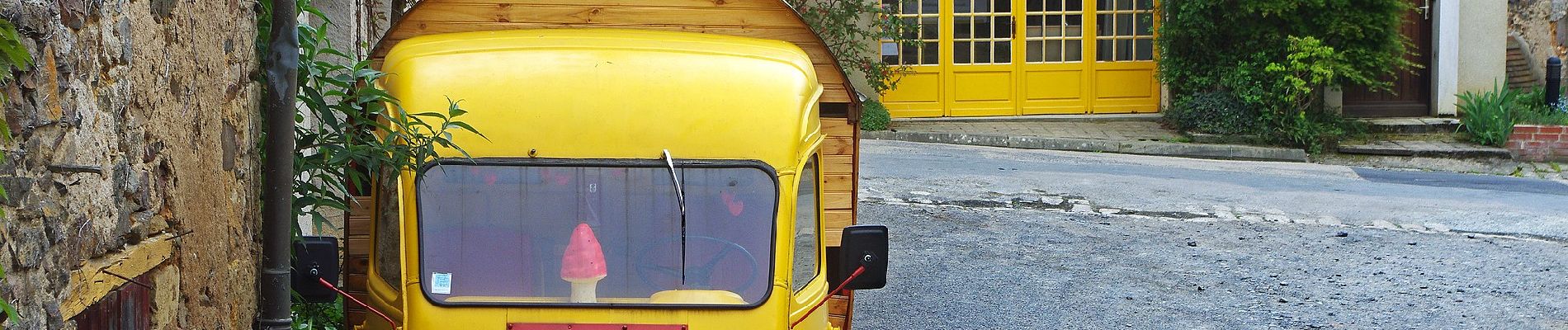
La Gargilesse secrète et sauvage

SityTrail - itinéraires balisés pédestres
Tous les sentiers balisés d’Europe GUIDE+
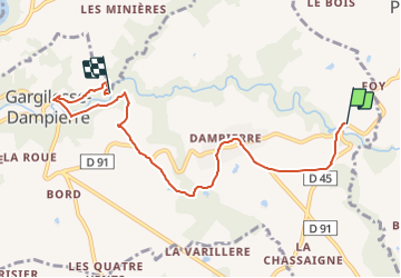

Length
6.7 km

Max alt
240 m

Uphill gradient
116 m
Km-Effort
8.3 km

Min alt
149 m

Downhill gradient
152 m
Boucle
No

Signpost
Creation date :
2022-02-15 15:32:43.203
Updated on :
2022-03-02 18:05:24.843
1h53
Difficulty : Easy

FREE GPS app for hiking
 SityTrail
IGN / Geographical institutes
SityTrail Plus
The world is yours!
About
Trail On foot of 6.7 km to be discovered at Centre-Loire Valley, Indre, Gargilesse-Dampierre. This trail is proposed by SityTrail - itinéraires balisés pédestres.
Photos


Positioning
Country:
France
Region :
Centre-Loire Valley
Department/Province :
Indre
Municipality :
Gargilesse-Dampierre
Location:
Unknown
Start:(Dec)
Start:(UTM)
395879 ; 5151741 (31T) N.
Comments