


Le Circuit de Bellaigues

SityTrail - itinéraires balisés pédestres
Tous les sentiers balisés d’Europe GUIDE+
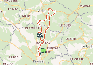

Length
11.2 km

Max alt
607 m

Uphill gradient
286 m
Km-Effort
14.9 km

Min alt
491 m

Downhill gradient
229 m
Boucle
No

Signpost
Creation date :
2022-02-15 19:10:05.519
Updated on :
2022-03-02 23:05:37.329
3h22
Difficulty : Easy

FREE GPS app for hiking
 SityTrail
IGN / Geographical institutes
SityTrail Plus
The world is yours!
About
Trail On foot of 11.2 km to be discovered at Auvergne-Rhône-Alpes, Puy-de-Dôme, Pionsat. This trail is proposed by SityTrail - itinéraires balisés pédestres.
Description
Trail created by CD63.
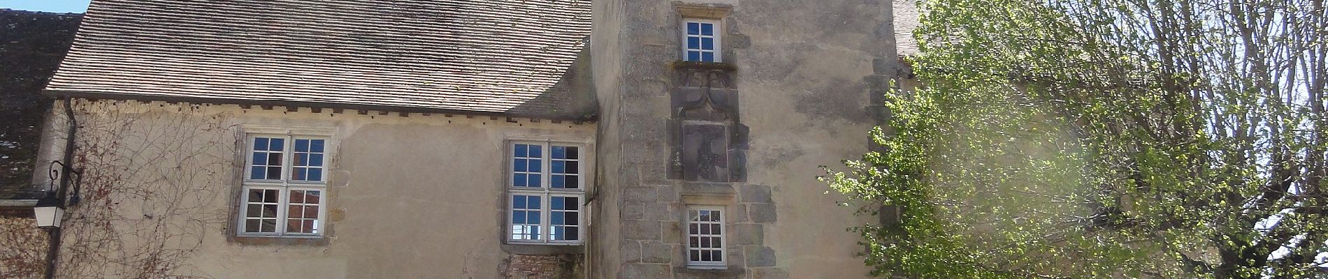
Photos


Positioning
Country:
France
Region :
Auvergne-Rhône-Alpes
Department/Province :
Puy-de-Dôme
Municipality :
Pionsat
Location:
Unknown
Start:(Dec)
Start:(UTM)
476499 ; 5106715 (31T) N.
Comments