Trail Nordic walking Loubeyrat - 
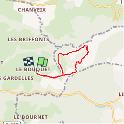
Tour du Puy Grammont - Photo
 Gegetop
Gegetop

User

© OpenStreetMap contributors
Length
Length
4.7 km
Max alt
Max alt
658 m
Uphill gradient
Uphill gradient
158 m
Km-Effort
Km-Effort  
6.8 km
Min alt
Min alt
508 m
Downhill gradient
Downhill gradient
158 m
Boucle
Boucle
Yes
Creation date :
2014-12-10 00:00:00.0
Updated on :
2014-12-10 00:00:00.0

(0 Reviews)

Nordic walking
Nordic walking
1h38
Difficulty : Medium

Scan this QR Code to open this trail in the SityTrail application

FREE GPS app for hiking

Logo SityTrail SityTrail

IGN / Geographical institutes

Download SityTrail from the App Store Download SityTrail from Google Play

Logo SityTrail SityTrail Plus

The world is yours!

Download SityTrail from the App Store Download SityTrail from Google Play Download SityTrail on Huawei AppGallery

About

Trail Nordic walking of 4.7 km to be discovered at Auvergne-Rhône-Alpes, Puy-de-Dôme, Loubeyrat. This trail is proposed by Gegetop.

Description

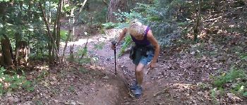
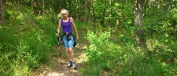
Petit trekking sympa à travers bois avec quelques pentes qui nous mènent jusqu'au ruisseau de Fourneaux.
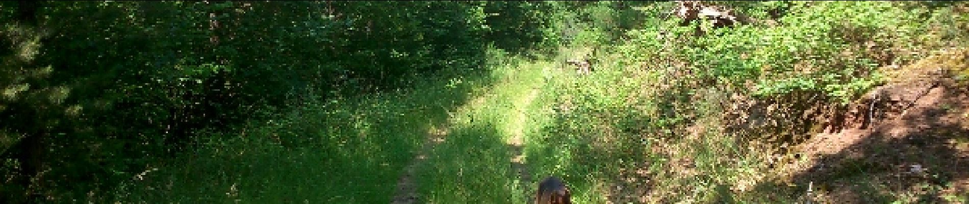
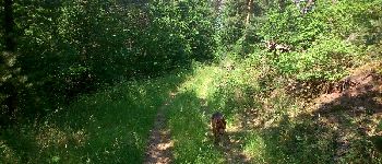
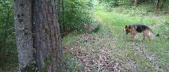
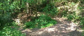
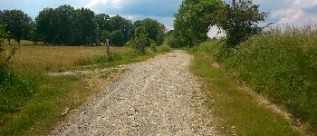
Elevation profile

Photos

Points of interest

Point of interest Prompsat - Point 2 - Photo
Gegetop
PROMPSAT 
Point of interest Prompsat - Point 4 - Photo
Gegetop
PROMPSAT 
Point of interest Prompsat - Point 5 - Photo
Gegetop
PROMPSAT 
Point of interest Prompsat - Point 6 - Photo
Gegetop
PROMPSAT 
Point of interest Prompsat - Point 9 - Photo
Gegetop
PROMPSAT 
Point of interest Prompsat - Point 11 - Photo
Gegetop
PROMPSAT 
Point of interest Prompsat - Point 12 - Photo
Gegetop
PROMPSAT 
Point of interest Prompsat - Point 13 - Photo
Gegetop
PROMPSAT 

Positioning

Country:
France
Region :
Auvergne-Rhône-Alpes
Department/Province :
Puy-de-Dôme
Municipality :
Loubeyrat
Location:
Unknown
Start:(UTM)
502925 ; 5087276 (31T) N.


Close
My subscriptions