


La randonnée des fours à pain de Chalignac

alainjoseph6
User

Length
9.8 km

Max alt
191 m

Uphill gradient
199 m
Km-Effort
12.5 km

Min alt
85 m

Downhill gradient
199 m
Boucle
Yes
Creation date :
2015-05-01 00:00:00.0
Updated on :
2015-05-01 00:00:00.0
2h40
Difficulty : Unknown

FREE GPS app for hiking
 SityTrail
IGN / Geographical institutes
SityTrail Plus
The world is yours!
About
Trail Walking of 9.8 km to be discovered at New Aquitaine, Charente, Châtignac. This trail is proposed by alainjoseph6.
Description
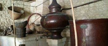
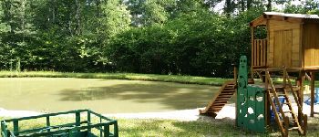
Randonnée très vallonnée, ou l'on peut découvrir les fours à pain rénovés.
Photos


Positioning
Country:
France
Region :
New Aquitaine
Department/Province :
Charente
Municipality :
Châtignac
Location:
Unknown
Start:(Dec)
Start:(UTM)
734173 ; 5025791 (30T) N.
Comments
sentier découverte .petit patrimoine rural. tombes rupestres exceptionnelle s.