


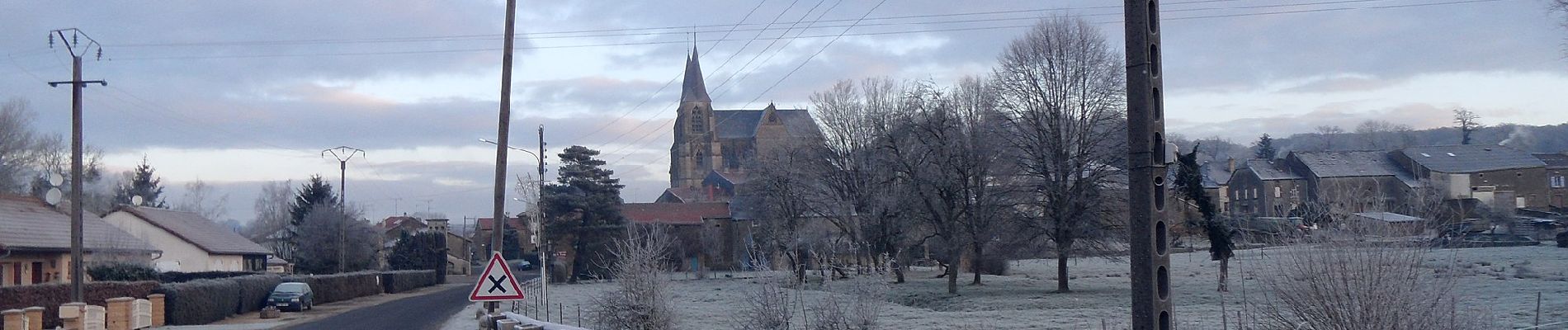
La basilique des Champs

SityTrail - itinéraires balisés pédestres
Tous les sentiers balisés d’Europe GUIDE+


Length
13.1 km

Max alt
309 m

Uphill gradient
245 m
Km-Effort
16.4 km

Min alt
201 m

Downhill gradient
247 m
Boucle
Yes

Signpost
Creation date :
2022-02-17 11:02:04.988
Updated on :
2022-03-03 22:46:37.085
3h42
Difficulty : Easy

FREE GPS app for hiking
 SityTrail
IGN / Geographical institutes
SityTrail Plus
The world is yours!
About
Trail On foot of 13.1 km to be discovered at Grand Est, Meuse, Breux. This trail is proposed by SityTrail - itinéraires balisés pédestres.
Description
Trail created by Office de tourisme transfrontalier du Pays de Montmédy, France.
Photos


Positioning
Country:
France
Region :
Grand Est
Department/Province :
Meuse
Municipality :
Breux
Location:
Unknown
Start:(Dec)
Start:(UTM)
672508 ; 5494764 (31U) N.
Comments