


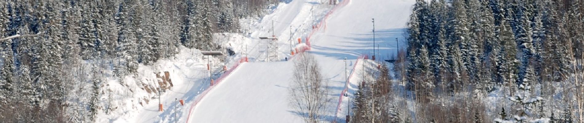
Bogstadvannet rundt

SityTrail - itinéraires balisés pédestres
Tous les sentiers balisés d’Europe GUIDE+
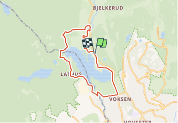

Length
10 km

Max alt
193 m

Uphill gradient
159 m
Km-Effort
12.1 km

Min alt
145 m

Downhill gradient
160 m
Boucle
Yes

Signpost
Creation date :
2022-02-21 10:24:47.988
Updated on :
2022-03-08 19:21:03.95
2h45
Difficulty : Easy

FREE GPS app for hiking
 SityTrail
IGN / Geographical institutes
SityTrail Plus
The world is yours!
About
Trail On foot of 10 km to be discovered at Oslo, Unknown, Unknown. This trail is proposed by SityTrail - itinéraires balisés pédestres.
Photos


Positioning
Country:
Norway
Region :
Oslo
Department/Province :
Unknown
Municipality :
Unknown
Location:
Marka
Start:(Dec)
Start:(UTM)
590686 ; 6649867 (32V) N.
Comments