


G2 St Berain sur Dheune

LUCIE2016
User
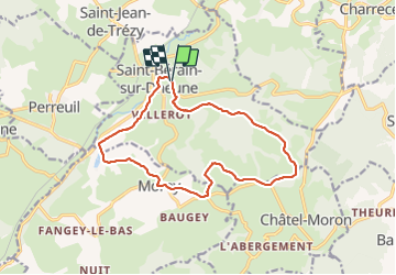

Length
14.2 km

Max alt
482 m

Uphill gradient
314 m
Km-Effort
18.4 km

Min alt
243 m

Downhill gradient
318 m
Boucle
Yes
Creation date :
2022-02-22 07:39:26.08
Updated on :
2022-03-09 17:32:22.015
2h54
Difficulty : Easy

FREE GPS app for hiking
 SityTrail
IGN / Geographical institutes
SityTrail Plus
The world is yours!
About
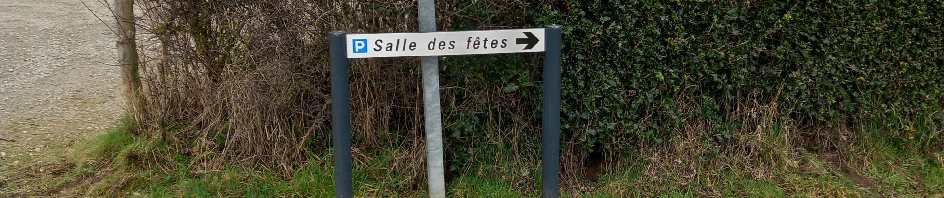
Trail Walking of 14.2 km to be discovered at Bourgogne-Franche-Comté, Saône-et-Loire, Saint-Bérain-sur-Dheune. This trail is proposed by LUCIE2016.
Photos

Positioning
Country:
France
Region :
Bourgogne-Franche-Comté
Department/Province :
Saône-et-Loire
Municipality :
Saint-Bérain-sur-Dheune
Location:
Unknown
Start:(Dec)
Start:(UTM)
622426 ; 5186743 (31T) N.
Comments