


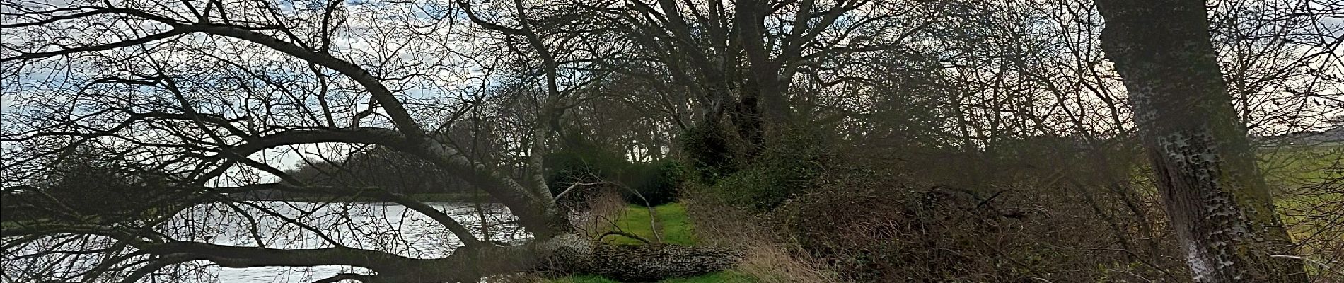
Busnes et le canal d'aire.

BrassensJC
User
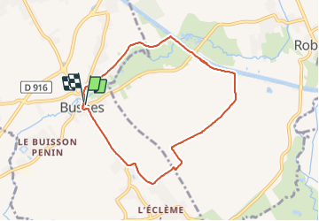

Length
6.9 km

Max alt
21 m

Uphill gradient
21 m
Km-Effort
7.2 km

Min alt
15 m

Downhill gradient
21 m
Boucle
Yes
Creation date :
2022-02-24 09:13:47.655
Updated on :
2022-02-24 10:52:55.294
1h38
Difficulty : Medium

FREE GPS app for hiking
 SityTrail
IGN / Geographical institutes
SityTrail Plus
The world is yours!
About
Trail Walking of 6.9 km to be discovered at Hauts-de-France, Pas-de-Calais, Busnes. This trail is proposed by BrassensJC.
Photos


Positioning
Country:
France
Region :
Hauts-de-France
Department/Province :
Pas-de-Calais
Municipality :
Busnes
Location:
Unknown
Start:(Dec)
Start:(UTM)
465938 ; 5604073 (31U) N.
Comments